
Avoid costly errors
- Project engineering plans on-site
- Verify and correct design issues
- Verify plan vs as-built
Digitize and optimize your construction projects by visualizing and
measuring geospatial data (GIS & BIM) in the field with our high
precision Augmented Reality technology for Engineering.


McKinsey research states that “Large projects across asset classes typically take 20 percent longer to finish than scheduled and are up to 80 percent over budget” and that the construction sector is one of the least digitized industries (source).
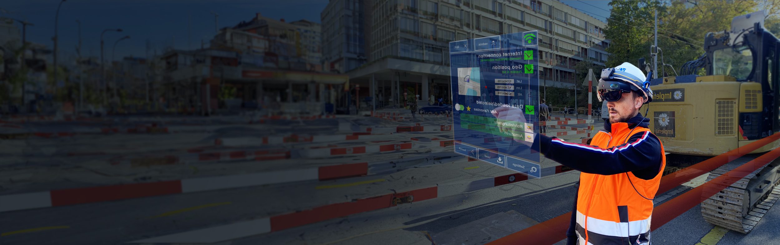
By using our high precision Augmented Reality technology for Engineering we help the construction sector further digitize its fieldwork. Engineers can visualize their 3D design directly on the construction site with cm accuracy, allowing them to verify the project, avoid costly design errors, build the first time right and reduce delays.
Get in touch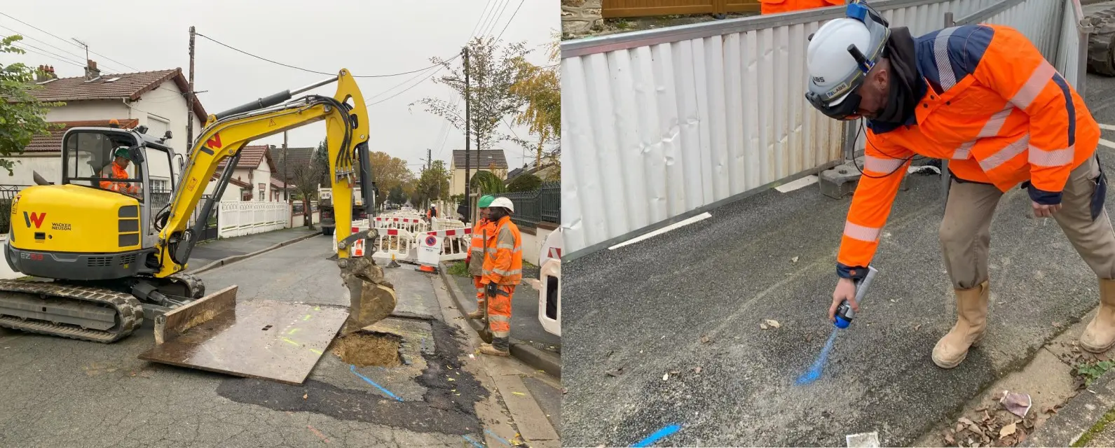
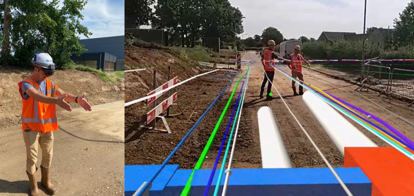
Visualize GIS-data in the field with centimeter accuracy and avoid dangerous damages to underground infrastructures during civil engineering work by using our high precision Augmented Reality technology for geospatial data. Our solution enables field workers to execute surveying tasks and avoid human errors that can lead to incidents.
Get in touch
We help the construction sector digitize its field work every step of the way and cover the projects from start to end. With our high precision Augmented Reality solution for geospatial data you can: Visualize your 2D & 3D-engineering plans (CAD, BIM, GIS) on-site with centimeter accuracy, verify and correct any potential design issues, visually share the plans with field operators to simplify communication and create your digital twin at the close-out of the construction project.
Our Augmented Reality technology is an ideal tool to further optimize and digitize your field work.
Get in touchWe help surveyors, contractors and engineers to visualize, modify and acquire geospatial data with centimeter accuracy in the field by using GNSS/RTK-integrated augmented reality glasses.

“Thanks to V-Labs’ GNSS/RTK-integrated Augmented Reality solution, Deutsche Bahn can optimize the quality control of the installation of assets along the railway tracks. V-Labs’ technology allows Deutsche Bahn to optimize productivity, reduce delays caused by field work and improve data quality.”
“Ich habe in den vergangenen Jahren bereits etliche Systeme getestet, überzeugt hat mich allerdings nur jenes von V-Labs: «Die Projektion durch die Brille ist perfekt, überhaupt nicht verwackelt. Ebenso sind wir in der Lage, über die Cloud stets auf die aktuellsten Leitungsdaten zuzugreifen. Ein absoluter Game-Changer.»”
“De samenwerking tussen een drinkwaterbedrijf en V-Labs opent deuren naar een grensverleggende toekomst vol technologische vooruitgang.”
“Met het gebruik van Augmented Reality zien we nu ondergrondse obstakels voordat we een schop in de grond hebben gezet. Een mooie extra tool om graafschades te voorkomen.”
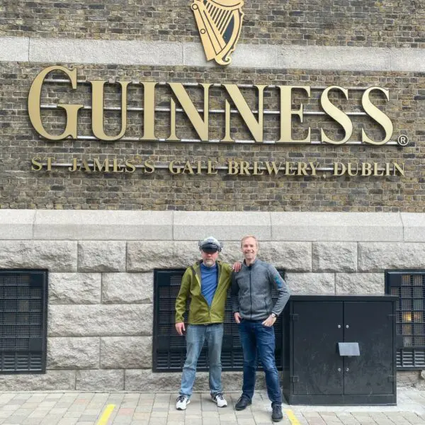
V-Labs was one of the 29 startups selected out of 519 startups from 75 countries that participated in the Free Electrons bootcamp in Ireland: A major opportunity to present our technology and solution to leading utilities in the world.
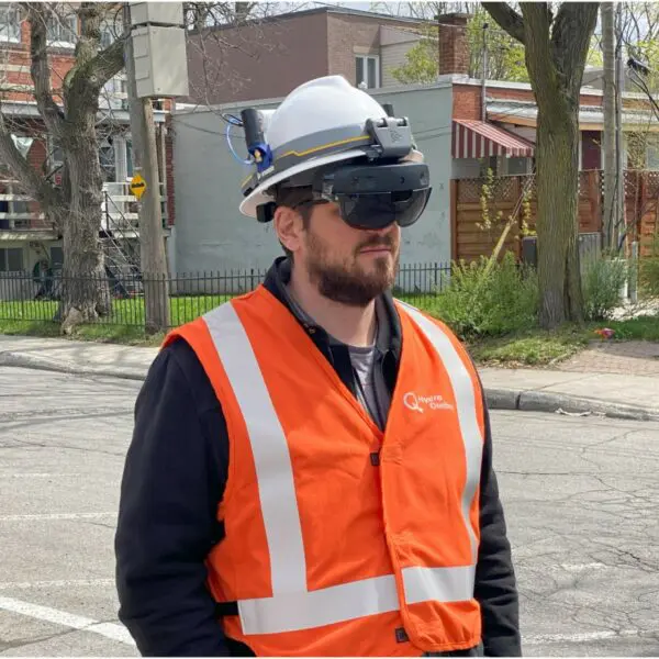
Last week, V-Labs was in Canada to demo our Augmented Reality technology to Hydro Québec, the electricity utility from Québec. It was a great experience to meet the people and see our solution at work in the streets of Montréal.
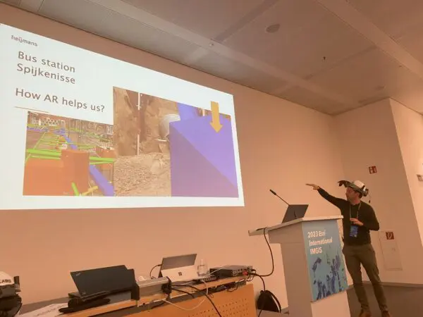
V-Labs and Heijmans present together at the Esri International Infrastructure Management & GIS conference.
